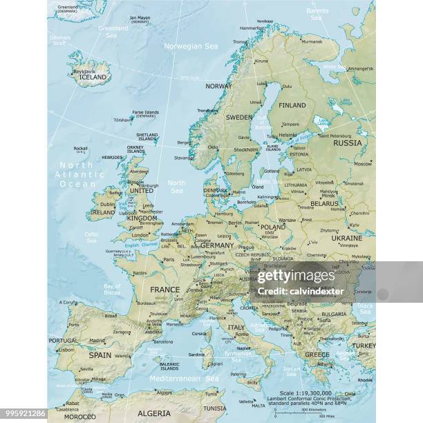
europe physical map antique victorian engraved colored map, 1899 - physical map of europe stock illustrationsEurope Physical Map Antique Victorian Engraved Colored Map, 1899
physical map ofl europe, lithograph, published in 1893 - physical map of europe stock illustrationsPhysical map ofl Europe, lithograph, published in 1893
antique german atlas map close up: north east usa - physical map of europe stock illustrationsAntique German atlas map close up: North East USA
physical map of south america - physical map of europe stock illustrationsPhysical map of South America
antique map of french colonies - physical map of europe stock illustrationsAntique map of French colonies
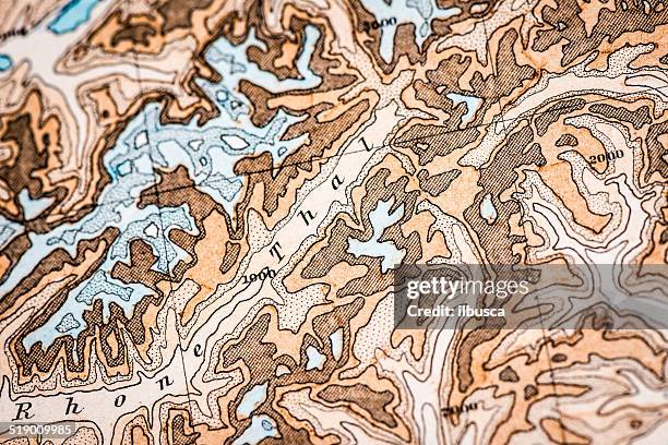
topographical map of the alps - hand painted - physical map of europe stock illustrationsTopographical Map of the Alps - Hand Painted
physical map of north america - physical map of europe stock illustrationsPhysical map of North America
gran canaria topographic relief vector map - physical map of europe stock illustrationsGran Canaria Topographic Relief Vector Map
antique map of algeria and tunisia - physical map of europe stock illustrationsAntique map of Algeria and Tunisia
antique german atlas map close up: balearic islands - physical map of europe stock illustrationsAntique German atlas map close up: Balearic Islands
physical map of europe engraving antique illustration, published 1851 - physical map of europe stock illustrationsPhysical Map of Europe Engraving Antique Illustration, Published 1851
antique german atlas map close up: betelgeuse - physical map of europe stock illustrationsAntique German atlas map close up: Betelgeuse
antique german atlas map close up: swiss mountains alps - physical map of europe stock illustrationsAntique German atlas map close up: Swiss mountains Alps
antique german atlas map close up: castor and pollux - physical map of europe stock illustrationsAntique German atlas map close up: Castor and Pollux
antique german atlas map close up: greek islands - physical map of europe stock illustrationsAntique German atlas map close up: Greek Islands
antique german atlas map: southern europe and north africa - physical map of europe stock illustrationsAntique German atlas map: Southern Europe and North Africa
map of central europe during the ice age, published 1897 - physical map of europe stock illustrationsMap of Central Europe during the Ice Age, published 1897
north america physical map, engraving, 1892 - physical map of europe stock illustrationsNorth America Physical Map, Engraving, 1892
antique german atlas map close up: central-western europe - physical map of europe stock illustrationsAntique German atlas map close up: Central-Western Europe
antique map of europe (french) - physical map of europe stock illustrationsAntique map of Europe (French)
antique french map of physical france - physical map of europe stock illustrationsAntique French map of Physical France
antique german atlas map close up: north america - physical map of europe stock illustrationsAntique German atlas map close up: North america
antique map of north america (french) - physical map of europe stock illustrationsAntique map of North America (French)
antique map of european russia - physical map of europe stock illustrationsAntique map of European Russia
europa map ,climatologist survey - physical map of europe stock illustrationsEuropa map ,Climatologist survey
river and mountains map of north america - physical map of europe stock illustrationsRiver and mountains map of North America
antique german atlas map close up: central-southern europe - physical map of europe stock illustrationsAntique German atlas map close up: Central-Southern Europe
antique german atlas map close up: cyprus, turkey and middle-east - physical map of europe stock illustrationsAntique German atlas map close up: Cyprus, Turkey and Middle-East
antique german atlas map close up: isotherm curves - physical map of europe stock illustrationsAntique German atlas map close up: isotherm curves
physical map of the central balkan region - physical map of europe stock illustrationsPhysical map of the Central Balkan Region
physical map of central europe, lithograph, published in 1897 - physical map of europe stock illustrationsPhysical map of Central Europe, lithograph, published in 1897
antique map of usa and mexico - physical map of europe stock illustrationsAntique map of USA and Mexico
mallorca topographic relief vector map - physical map of europe stock illustrationsMallorca Topographic Relief Vector Map
antique map of french colonies - physical map of europe stock illustrationsAntique map of French colonies
antique map of vietnam, laos, cambodia and thailand - physical map of europe stock illustrationsAntique map of Vietnam, Laos, Cambodia and Thailand
limnos topographic relief vector map - physical map of europe stock illustrationsLimnos Topographic Relief Vector Map
malta topographic relief vector map - physical map of europe stock illustrationsMalta Topographic Relief Vector Map
antique german atlas map close up: australia - physical map of europe stock illustrationsAntique German atlas map close up: Australia
antique map of french cities: le havre, rouen, lille, brest - physical map of europe stock illustrationsAntique map of French cities: Le Havre, Rouen, Lille, Brest
antique map of britain and ireland - physical map of europe stock illustrationsAntique map of Britain and Ireland
antique german atlas map close up: windrose - physical map of europe stock illustrationsAntique German atlas map close up: Windrose