Massachusetts State USA 3D Render Topographic Map Neutral - stock photo
3D Render of a Topographic Map of the State of Massachusetts, USA.
All source data is in the public domain.
Relief texture and Rivers: SRTM data courtesy of USGS. URL of source image:
https://e4ftl01.cr.usgs.gov//MODV6_Dal_D/SRTM/SRTMGL1.003/2000.02.11/
Water texture: SRTM Water Body SWDB:
https://dds.cr.usgs.gov/srtm/version2_1/SWBD/

Get this image in a variety of framing options at Photos.com.
PURCHASE A LICENCE
All Royalty-Free licences include global use rights, comprehensive protection, and simple pricing with volume discounts available
$500.00
+GST NZD
Getty ImagesMassachusetts State Usa 3d Render Topographic Map Neutral High-Res Stock Photo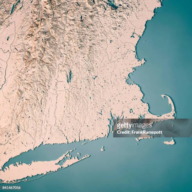 Download premium, authentic Massachusetts State USA 3D Render Topographic Map Neutral stock photos from Getty Images. Explore similar high-resolution stock photos in our expansive visual catalogue.Product #:841467056
Download premium, authentic Massachusetts State USA 3D Render Topographic Map Neutral stock photos from Getty Images. Explore similar high-resolution stock photos in our expansive visual catalogue.Product #:841467056$500+GST$50+GST
Getty Images
In stockDETAILS
Credit:
Creative #:
841467056
Licence type:
Collection:
E+
Max file size:
5800 x 5800 px (49.11 x 49.11 cm) - 300 dpi - 17 MB
Upload date:
Location:
Germany
Release info:
Property released
Categories:
- Map,
- Massachusetts,
- Cape Cod,
- New England - USA,
- The Berkshires,
- Long Island Sound,
- Aerial View,
- Nantucket,
- Overhead View,
- River Connecticut,
- Topographic Map,
- Appalachia,
- Appalachian Mountains,
- Atlantic Ocean,
- Cartography,
- Colour Image,
- Computer Graphic,
- Design,
- Digital Composite,
- Digitally Generated Image,
- Germany,
- Illustration,
- Landscape - Scenery,
- Martha's Vineyard,
- No People,
- North America,
- Outdoors,
- Physical Geography,
- Quabbin Reservoir,
- River Charles,
- Satellite View,
- Sea,
- Square - Composition,
- Three Dimensional,
- Topography,
- USA,