Phoenix, Arizona Vector Map - stock illustration
Topographic / Road map of Phoenix, AZ. Original map data is public domain sourced from www.census.gov/

Get this image in a variety of framing options at Photos.com.
PURCHASE A LICENCE
All Royalty-Free licences include global use rights, comprehensive protection, and simple pricing with volume discounts available
$500.00
+GST NZD
Getty ImagesPhoenix Arizona Vector Map High-Res Vector Graphic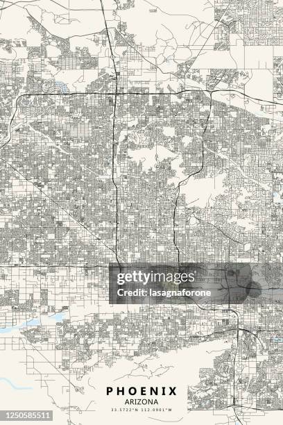 Download premium, authentic Phoenix, Arizona Vector Map stock illustrations from Getty Images. Explore similar high-resolution stock illustrations in our expansive visual catalogue.Product #:1250585511
Download premium, authentic Phoenix, Arizona Vector Map stock illustrations from Getty Images. Explore similar high-resolution stock illustrations in our expansive visual catalogue.Product #:1250585511$500+GST$50+GST
Getty Images
In stockDETAILS
Credit:
Creative #:
1250585511
Licence type:
Collection:
DigitalVision Vectors
Max file size:
3000 x 4500 px (25.40 x 38.10 cm) - 300 dpi - 31 MB
Upload date:
Location:
United States
Release info:
No release required
Categories:
- Map,
- Arizona,
- Phoenix - Arizona,
- Vector,
- Grand Canyon National Park,
- Illustration,
- Abstract,
- Aerial View,
- Architectural Feature,
- Architecture,
- Banner - Sign,
- Black And White,
- Blueprint,
- Camelback Ranch,
- Cartography,
- City,
- City Street,
- Desert Area,
- Downtown District,
- Graphic Print,
- Heard Museum,
- Ink,
- Latitude,
- Line Art,
- Longitude,
- Lost Dutchman State Park,
- Museum,
- National Border,
- No People,
- North America,
- Outline,
- Papago Park,
- Phoenix Municipal Stadium,
- Phoenix Museum Of History,
- Poster,
- Road,
- Simplicity,
- Street,
- Street Map,
- Tonto National Forest,
- Tourism,
- Travel,
- Travel Destinations,
- Vacations,
- Vertical,
- Water,
- Western USA,
- White Colour,
- Wild West,