Map of Londonderry, Derry, Donegal, Northern Ireland, Victorian Engraving, 1840 - stock illustration
Very Rare, Beautifully Illustrated Antique Engraving of Map of Londonderry, Derry, Donegal, Northern Ireland, Victorian Engraving, 1840. Source: Original edition from my own archives. Copyright has expired on this artwork. Digitally restored.

Get this image in a variety of framing options at Photos.com.
PURCHASE A LICENCE
All Royalty-Free licences include global use rights, comprehensive protection, and simple pricing with volume discounts available
$500.00
+GST NZD
Getty ImagesMap Of Londonderry Derry Donegal Northern Ireland Victorian Engraving 1840 High-Res Vector Graphic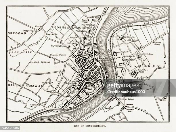 Download premium, authentic Map of Londonderry, Derry, Donegal, Northern Ireland, Victorian Engraving, 1840 stock illustrations from Getty Images. Explore similar high-resolution stock illustrations in our expansive visual catalogue.Product #:945195586
Download premium, authentic Map of Londonderry, Derry, Donegal, Northern Ireland, Victorian Engraving, 1840 stock illustrations from Getty Images. Explore similar high-resolution stock illustrations in our expansive visual catalogue.Product #:945195586$500+GST$50+GST
Getty Images
In stockDETAILS
Credit:
Creative #:
945195586
Licence type:
Collection:
DigitalVision Vectors
Max file size:
8179 x 6112 px (69.25 x 51.75 cm) - 300 dpi - 21 MB
Upload date:
Location:
United States
Release info:
Property released
Categories:
- Derry - Northern Ireland,
- Map,
- County Donegal,
- Etching,
- 19th Century,
- 19th Century Style,
- Antique,
- Archival,
- Art,
- Artistic Product,
- Cartography,
- Chart,
- City,
- Design,
- Diagram,
- Direction,
- Engravement,
- Famous Place,
- Graph,
- History,
- Horizontal,
- Illustration,
- Ireland,
- Irish Culture,
- Northern Ireland,
- Old,
- Plan - Document,
- Printmaking Technique,
- Residential District,
- River,
- River Foyle,
- Road,
- Street,
- Thoroughfare,
- Tourism,
- Town,
- Travel,
- UK,
- USA,
- Victorian Style,
- Village,