Explorer John Smith Map of New England, Circa 1624 - stock illustration
Beautifully Illustrated Antique Engraved Victorian Illustration of Historical Map of New England from Explorer Captain John Smith, Circa 1624. Source: Forerunners and Competitors of the Pilgrims and Puritans, Published in 1899. Original edition from my own archives. Copyright has expired on this artwork. Digitally restored.

Get this image in a variety of framing options at Photos.com.
PURCHASE A LICENCE
All Royalty-Free licences include global use rights, comprehensive protection, and simple pricing with volume discounts available
$500.00
+GST NZD
Getty ImagesExplorer John Smith Map Of New England Circa 1624 High-Res Vector Graphic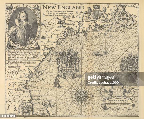 Download premium, authentic Explorer John Smith Map of New England, Circa 1624 stock illustrations from Getty Images. Explore similar high-resolution stock illustrations in our expansive visual catalogue.Product #:545588506
Download premium, authentic Explorer John Smith Map of New England, Circa 1624 stock illustrations from Getty Images. Explore similar high-resolution stock illustrations in our expansive visual catalogue.Product #:545588506$500+GST$50+GST
Getty Images
In stockDETAILS
Credit:
Creative #:
545588506
Licence type:
Collection:
DigitalVision Vectors
Max file size:
7686 x 6375 px (65.07 x 53.98 cm) - 300 dpi - 57 MB
Upload date:
Release info:
Model and property released
Categories:
- Map,
- Antique,
- Explorer,
- Massachusetts,
- New England - USA,
- The Past,
- USA,
- Virginia - US State,
- American Culture,
- Jamestown,
- Old-fashioned,
- 17th Century,
- 17th Century Style,
- History,
- John Smith - Explorer,
- Illustration,
- Maine,
- Nautical Vessel,
- Sailing,
- Sailor,
- Chesapeake Bay,
- Discovery,
- Knight - Person,
- Ship,
- The Americas,
- Admiral,
- Adult,
- Adults Only,
- Bay of Water,
- Black And White,
- Boat Captain,
- Cartography,
- Celebratory Event,
- Chart,
- Engraved Image,
- Engravement,
- Fine Art Portrait,
- Graph,
- Horizontal,
- Journey,
- Men,
- Nautical Equipment,
- Navigational Equipment,
- Passenger Ship,
- Period Costume,
- Photography,
- Pilgrim,
- Portrait,
- Puritanism,
- Sailing Ship,
- Travel,
- Water,