Map of the United States of America Territories - stock illustration
Highly detailed map of the United States of America Territories and its borders, with every state on its own individual layer for easier editing. Territories like Puerto Rico and Guam they also have their own separate layers.

Get this image in a variety of framing options at Photos.com.
PURCHASE A LICENCE
All Royalty-Free licences include global use rights, comprehensive protection, and simple pricing with volume discounts available
$500.00
+GST NZD
Getty ImagesMap Of The United States Of America Territories High-Res Vector Graphic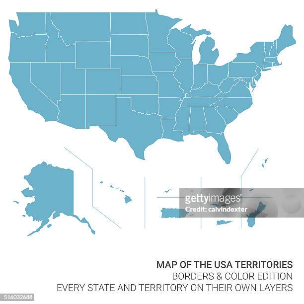 Download premium, authentic Map of the United States of America Territories stock illustrations from Getty Images. Explore similar high-resolution stock illustrations in our expansive visual catalogue.Product #:516032688
Download premium, authentic Map of the United States of America Territories stock illustrations from Getty Images. Explore similar high-resolution stock illustrations in our expansive visual catalogue.Product #:516032688$500+GST$50+GST
Getty Images
In stockDETAILS
Credit:
Creative #:
516032688
Licence type:
Collection:
DigitalVision Vectors
Max file size:
4127 x 4127 px (34.94 x 34.94 cm) - 300 dpi - 1 MB
Upload date:
Release info:
No release required
Categories:
- Map,
- USA,
- Vector,
- Puerto Rico,
- Flat Design,
- Outline,
- Sparse,
- Intricacy,
- Unity,
- Frame - Border,
- Guam,
- Multi-Layered Effect,
- National Border,
- Alaska - US State,
- Illustration,
- Big Island - Hawaii Islands,
- California,
- Cartography,
- Colour Image,
- Country - Geographic Area,
- Country Map,
- Design Element,
- Direction,
- Geographical Locations,
- Hawaii Islands,
- International Border,
- Land,
- Pacific Islands,
- Physical Geography,
- Virgin Islands,