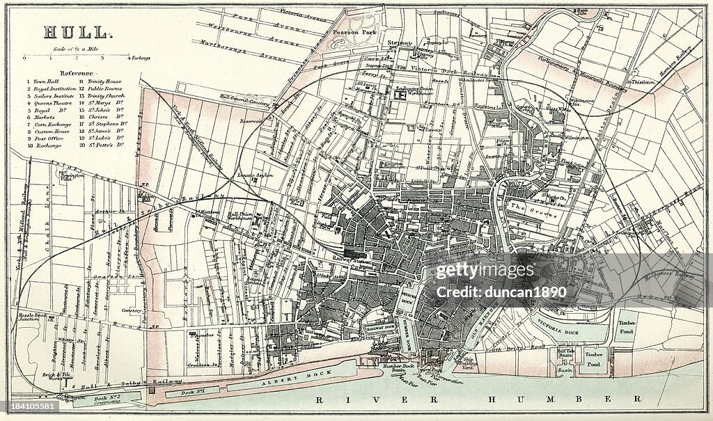
Map of Hull - stock illustration
"Vintage map from 1880 of Hull in the East Riding of Yorkshire, England. The city of Hull has served as market town, military supply port, trading hub, fishing and whaling centre, and industrial metropolis."

Get this image in a variety of framing options at Photos.com.
PURCHASE A LICENCE
All Royalty-Free licences include global use rights, comprehensive protection, and simple pricing with volume discounts available
$650.00
+GST NZD
DETAILS
Credit:
Creative #:
184105581
Licence type:
Collection:
DigitalVision Vectors
Max file size:
5920 x 3499 px (50.12 x 29.62 cm) - 300 dpi - 23 MB
Upload date:
Release info:
Model and property released
Categories:
- Street Map,
- Old,
- The Past,
- Kingston upon Hull,
- Old-fashioned,
- Road Map,
- England,
- History,
- Map,
- 1880-1889,
- 19th Century,
- 19th Century Style,
- Antique,
- Cartography,
- City,
- Commercial Dock,
- District,
- Equipment,
- Europe,
- Horizontal,
- Human Settlement,
- Humberside,
- Manufactured Object,
- Navigational Equipment,
- No People,
- Northern Europe,
- Obsolete,
- Photography,
- River,
- River Humber,
- Road,
- Street,
- Styles,
- Thoroughfare,
- UK,
- Urban Road,
- Victorian Style,
- Yorkshire - England,