Atlanta, Georgia Vector Map - stock illustration
Topographic / Road map of Atlanta GA. Original map data is public domain sourced from www.census.gov/

Get this image in a variety of framing options at Photos.com.
PURCHASE A LICENCE
All Royalty-Free licences include global use rights, comprehensive protection, and simple pricing with volume discounts available
$500.00
+GST NZD
Getty ImagesAtlanta Georgia Vector Map High-Res Vector Graphic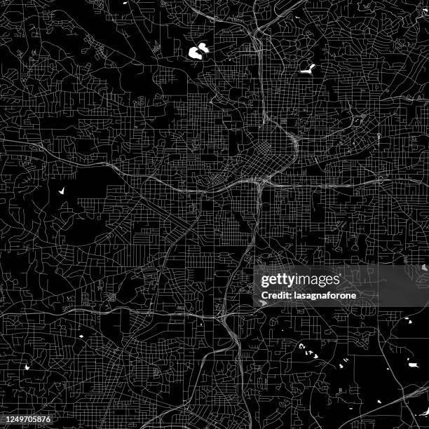 Download premium, authentic Atlanta, Georgia Vector Map stock illustrations from Getty Images. Explore similar high-resolution stock illustrations in our expansive visual catalogue.Product #:1249705876
Download premium, authentic Atlanta, Georgia Vector Map stock illustrations from Getty Images. Explore similar high-resolution stock illustrations in our expansive visual catalogue.Product #:1249705876$500+GST$50+GST
Getty Images
In stockDETAILS
Credit:
Creative #:
1249705876
Licence type:
Collection:
DigitalVision Vectors
Max file size:
4000 x 4000 px (33.87 x 33.87 cm) - 300 dpi - 10 MB
Upload date:
Location:
United States
Release info:
No release required
Categories:
- Atlanta - Georgia,
- Street Map,
- Map,
- Abstract,
- Airport,
- Art,
- Atlanta Zoo,
- Bay of Water,
- Black Colour,
- Cartography,
- Central Park - Atlanta,
- City,
- City Life,
- City Street,
- Decoration,
- Design,
- Elegance,
- Geology,
- Georgia - US State,
- Georgia Aquarium,
- Georgia Dome,
- Georgia Institute of Technology,
- Hartsfield-Jackson Atlanta International Airport,
- Illustration,
- Ink,
- Journey,
- Major Road,
- Modern,
- Multi-Layered Effect,
- No People,
- Outline,
- Piedmont Park - Atlanta - Georgia,
- Road,
- Road Junction,
- Road Map,
- Road Trip,
- Simplicity,
- Single Line,
- Square - Composition,
- Street,
- Topographic Map,
- Topography,
- Transportation,
- Travel Destinations,
- Vector,
- White Colour,